John Deere Updates TimberNavi Mapping Solution for Skidders and Feller Bunchers

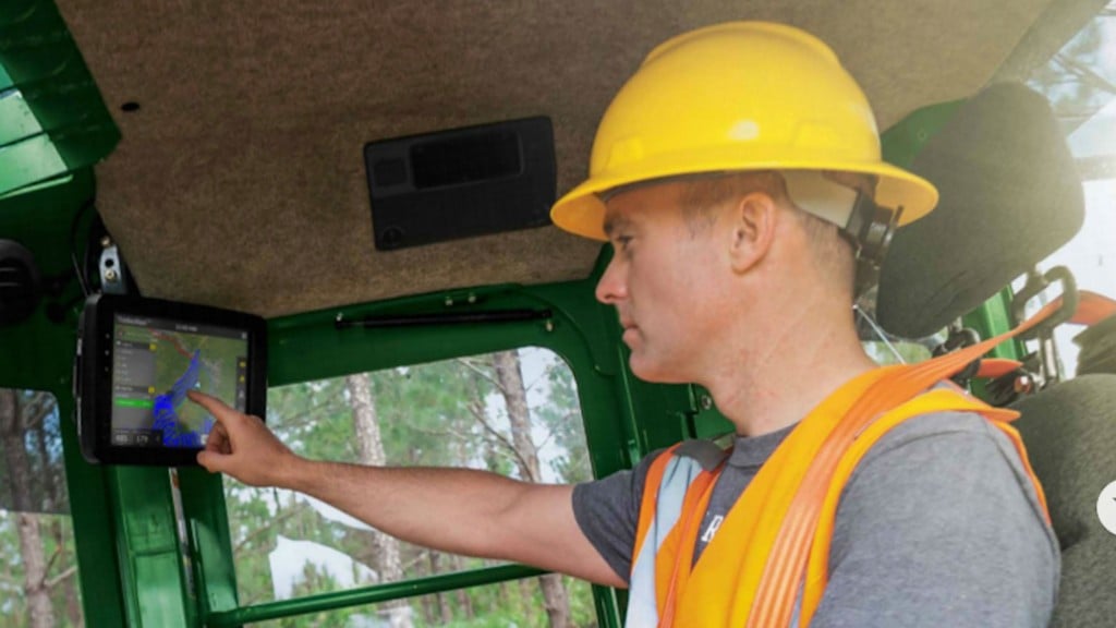
John Deere has announced the latest updates to TimberNavi, the most robust update to its fully integrated digital mapping solution since its initial launch. Designed for use with the John Deere L-Series Skidders and Wheeled Feller Bunchers and M-Series Tracked Feller Bunchers, the upgrade includes the integration of internet-enabled wireless data transfer, remote display access capabilities, and location history viewing of other JDLink-enabled machines. Developed based on aggregated customer feedback, these advanced features create a more connected jobsite, optimizing productivity for owners and jobsite foremen.
“We’re committed to being at the forefront of developing technology that helps loggers keep up with the changing landscape of the forestry industry,” said Matt Flood, John Deere ForestSight Solutions product manager. “With the latest update we have built upon the technology we pioneered when TimberNavi first launched, providing loggers with a solution that saves time, improves efficiency and increases productivity.”
With this update, TimberNavi introduces four new features to help owners and operators increase uptime and cut costs:
- Wireless Data Transfer – Managers save on time spent traveling and starting a new jobsite with the ability to wirelessly transfer digital maps to a machine.
- Remote Location History Viewing – Managers can now monitor progress remotely, decreasing travel time and aiding in future bidding of jobs.
- Remote Display Access – Dealers are able to provide better, faster customer support with the ability to troubleshoot the TimberNavi monitor remotely. Owners and managers can also remotely access the TimberNavi monitor to make adjustments for the operator and also import and export historical data to and from the office.
- JDLink Compatibility –Operators have increased awareness through JDLink integration, allowing them to see other JDLink-enabled machines and respective tracking layers on the jobsite.
Launched in 2015, TimberNavi provides owners and operators maximum visibility to the jobsite, increasing efficiency and productivity in the woods. The update will maintain the key features of the initial launch, including custom map creation, a high-resolution touchscreen display, visual alarms based on customizable buffer zones, and most importantly, full support of a John Deere dealer. These features increase the operator’s spatial understanding of the terrain, harvesting areas and points of interest on a map, which in turn helps enhance productivity, increase uptime and deliver lower daily operating costs.


